Fairfield is located about 3 miles south of Cedar Fort. According the wikipedia, "The town was established in 1855 when John Carson, his four brothers, and others settled in the Cedar Valley. The settlement was soon known as Frogtown....Frogtown became Fairfield in 1861; named after Amos Fielding, who had participated in establishing the community." Frogtown is a great name for a place.
Fairfield is best known for the base that Johnston's Army created just south of the town. Johnston's Army was sent to Utah to suppress the Mormon rebellion, which never actually happened. Here are some interesting photos of the camp, known originally as Camp Floyd:

Used by permission, Utah State Historical Society, all rights reserved.


There are several interesting historical plaques around the small town and almost all of the information that I found about the army is taken from these plaques.
One entitled "A Camp In The Sage Brush" reads: "Established in 1858, Camp Floyd was the largest military post in the United States [at its time, around 1/3 of the entire US Army was stationed at Camp Floyd]. It was created to put down a Mormon rebellion which never took place.
"With the outbreak of the Civil War in 1861, soldiers were recalled and Camp Floyd was dismantled. Today, little evidence exists of a once thriving camp.
"Living conditions at Camp Floyd were hard, as one soldier described: 'Camp Floyd is one of the most miserable, disagreeable and uninteresting places that ever disgraced the earth. It is built upon a dry plain, entirely destitute of grass, or, indeed, any vegetation, except sage, that flourishes where nothing else will grow.
"'There is no water here except a little dirty stream that runs near the west end of the camp, scarcely large enough to drown a mouse.'"
Another plaque reads: "In 1855, Fairfield was settled by John Carson, William Carson, David Carson, William Beardshall, and John Clegg. A rock fort 4 rods square was erected in 1856-7, this monument being at the southeast corner, which was the entrance. In 1860 the population, including soldiers, was 7000, this being Utah's third largest city.
"Camp Floyd, adjoining Fairfield on the south and west, was established July 4, 1858 by Bvt. Brig. Gen. Albert Sidney Johnston and the Utah Expeditionary Forces numbering about 3000 men. Col. Phillip St. George Cooke succeeded in command March 1, 1860, changing the name to Ft. Crittenden February 6, 1861. It was abandoned July 1861."
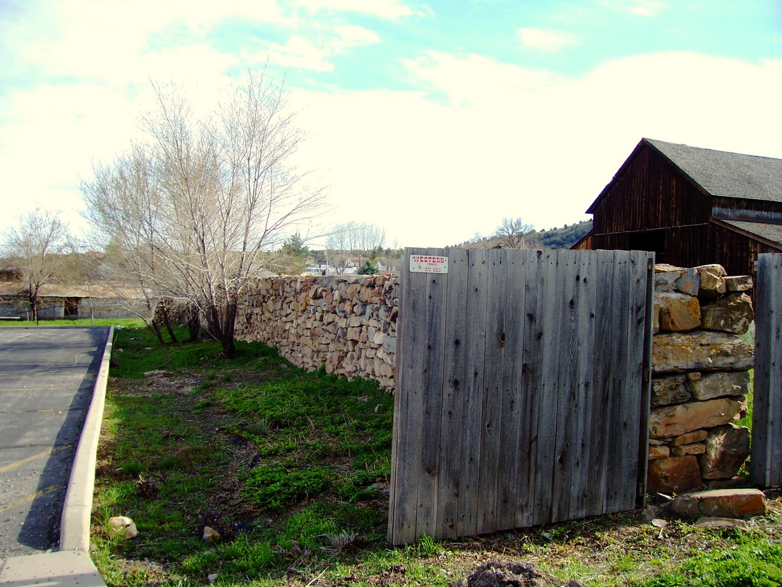
Today, the only building found around Camp Floyd is a tiny blue museum (next to which is found the second plaque from which I quoted). Most of the camp is just farm fields. Here are the pictures:


One remaining piece of the camp is found in the cemetery, which is the southernmost part of the old camp. The following photos are from 1954:

Used by permission, Utah State Historical Society, all rights reserved.
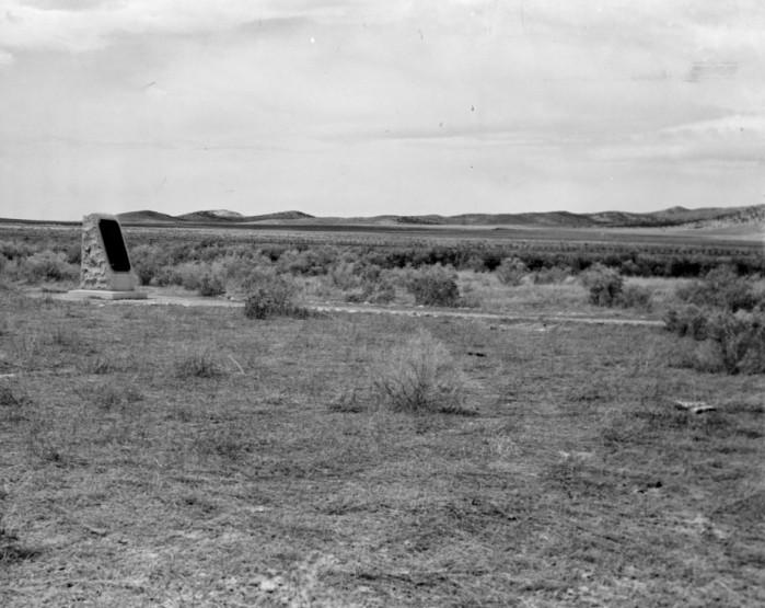
Used by permission, Utah State Historical Society, all rights reserved.
Sometime within the past 60 years, the cemetery has undergone a renovation. Here is how it currently looks: